Ecuador Volcanoes Expedition Beta & Route
Share Expedition
Elevation: 18,996 – 20,548 feet
Duration: 11 – 14 days
Difficulty: Advanced Beginner to Intermediate
Route: Standard Route
Continent: South America
Climbing Cotopaxi
On Cotopaxi (19,347 feet), we will be based out of Tambopaxi Lodge, just below the peak. We will do our acclimatization hikes and a day of training to refresh our skills, and then it’s time for the real climbing to begin! Our team will drive to the mountain and hike for about an hour to arrive at Refugio José Rivas, a dormitory-style mountain hut, where we will settle in, have our pre-summit meeting, and call it an early night.
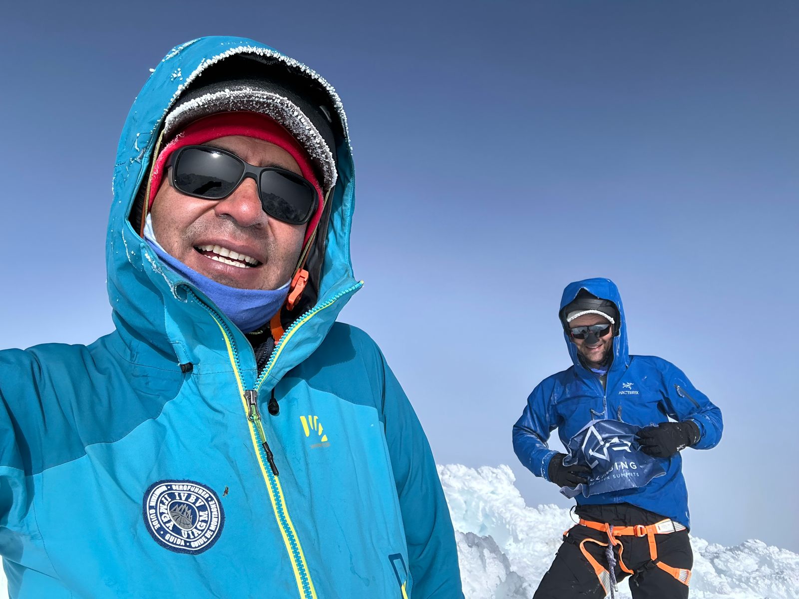
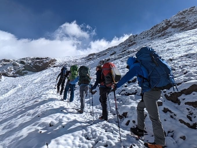
Cotopaxi requires a very early start with breakfast at the hut before starting upwards. The route gains 3,200 vertical feet (1,000 meters) in just under two miles (3.2 km) from 15,900 feet (4,846 meters) to 19,347 feet (5,896 meters). The climb consists of true glacier travel with some steep snow, so it is necessary to be well acquainted with ice axes, crampons, and roped team travel.
Climbing Cayambe
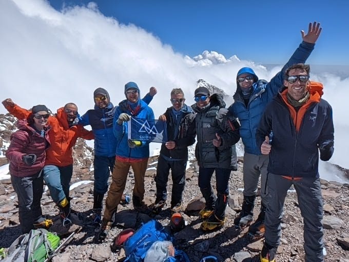
The second climb of our Ecuador program, Cayambe (18,996 feet), serves up an exciting glacier ascent to the highest point on the Equator. The route starts from the mountain hut, Refugio Oleas Ruales, ascending a rock ridge for about an hour out of camp. After scrambling the rock ridge, the team gains the glacier and uses standard glacier travel techniques to work their way up to the summit. The climb takes about six hours to the summit and three to four hours for the descent. After returning to the Refugio, our team will pack up and head out. It’s time for a well deserved rest, and we’ll relax for the afternoon in the hot springs at Papallacta! Be sure to pack your swimmers.
Climbing Chimborazo
For those looking for an extra challenge while in Ecuador, we highly recommend adding Chimborazo (20,548 feet) to the standard Ecuador Volcanoes itinerary.
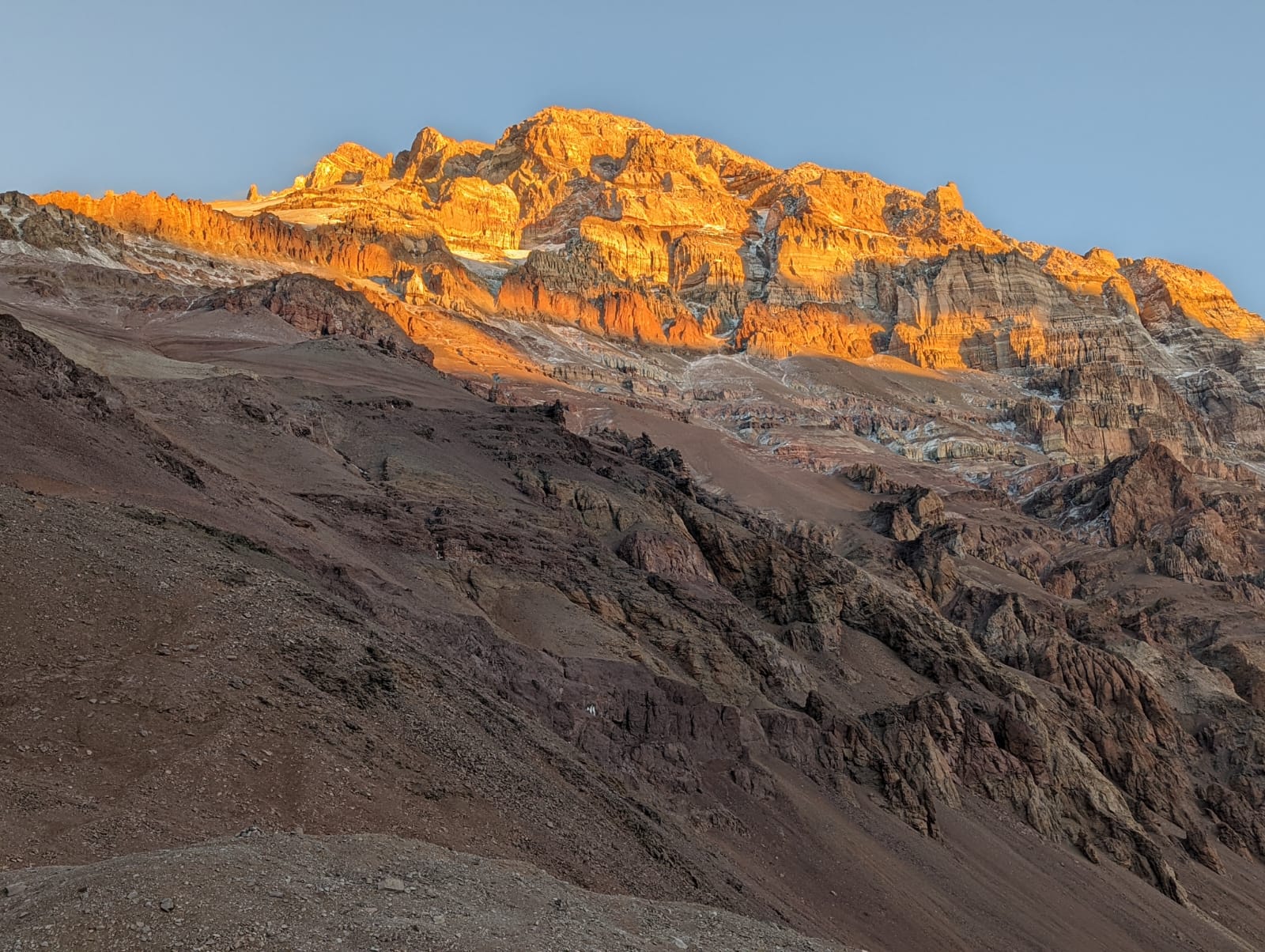
Chimborazo is a more challenging peak than Cayambe or Cotopaxi, with more exposed terrain and a longer route. To set our teams up for success, we have elected to set up a high camp in tents at around 18,400 feet (5,600 meters) rather than the lower Refugio Whymper hut that many expeditions use. The ascent starts the same day that you leave Quito, with about four hours of climbing to reach the high camp. Once in place at high camp, we’ll eat a good meal in the early evening and have an early bedtime in preparation for the summit bid. Waking up early for an alpine start, the route ascends a steep, glaciated ridge for several thousand feet to the false summit, Pico Veintimilla, at 20,434 feet (6,228 meters). It is a long, relatively flat climb from the false summit across the summit plateau to the true summit of Chimborazo at 20,565 feet (6,268 meters).
The descent retraces the ascent route. We’ll pick up our gear at high camp and descend down to the trucks waiting at the end of the road. From there, it’s a few hours of driving back to Quito!